The good news for us for the first leg of the journey was that the wind was out of the north. The wind was about 10 MPH, so as long as we stayed relative close to shore (within a couple of miles) we should have a smooth ride.
Both of us are also back in familiar waters. I sailed to New Orleans during part of my Loop (I had my nephew along for the journey). Charlie and his wife (Robin) have been to Biloxi in their boat, their big boat, not the pontoon. It will be somewhat familiar, but making the trek in a pontoon boat will be new.
We mostly stuck to the plan leaving Gulfport. We had to get a little further off shore after we passed Pascagoula, MS. The shoreline make an arch northward between Pascagoula and Bayou La Batre, AL. This area is shown as Grand Bay on the charts. The waves weren't bad, probably approaching a moderate chop with an occasional 1' to 2' wave. There is always the concern that the waves could start building out in the middle of Grand Bay. We were taking the most direct path from Gulfport to the Dauphin Island Bridge, the point where we would enter Mobile Bay. As we approached the bridge the chop on the water was actually getting better. I am behind the wheel just enjoying the ride. As we approach the bridge, I see on the depth gauge that we are starting to get into an area of shallow water. I zoom in the chart plotter and see that a sandbar is in our path that shows 1' on the chart. Just about the time I pull the throttle back, the shallow water alarm goes off, this get Charlie's attention. We were both monitoring the depth gauge and looking at the chart plotter now. We are 1.1 miles from the nearest point of land and we are in less than 3' of water. We ease our way around the sandbar and get over into the channel to cross under the bridge.
Soon after we left Gulfport, I had a concern with the north wind, the waves could really be high on Mobile Bay. Since it is about 27 miles from the northern part of Mobile Bay to the Dauphin Island Bridge, wind driven waves can really build up in 27 miles. The 10 MPH wind today could produce a moderate to heavy chop. Maybe even some waves of 3 to 4 feet. Lady luck was back on board with us. Throughout the morning the wind was taking on a more westerly component, and had weakened a bit, maybe 5 to 8. The 20 mile ride to Dog River was very smooth.
We did a gas and go at Dog River Marina. We donned the vinyl gloves and kept our distance from the dock attendant. We were finished fueling and had just finished paying when three kids came scurrying up on the dock. I heard one the kids proclaim, to the dock attendant, "look daddy, I'm not sick anymore". We couldn't get out of there fast enough. Charlie still needed to record the fuel and miles in his log, but we cast off and floated out in the middle of the river to finish up our tasks. Soon after we bid farewell to Dog River.
Going up through the Mobile ship channel is always an interesting ride. This makes my fifth time of going through Mobile. Most of the time it is a pretty chaotic scene of tow boats going up and down the river. Some empty tows crossing the river to pick up barges. This time it was rather calm. Oh, we had a little "race" with one tow to see who was going to get in the channel first, but Charlie hit the gas and it wasn't even close. Then we saw one lone tow coming down. I guess the COVID-19 restrictions are affecting the Port of Mobile.
We made it through Mobile Harbor as the say easy peasy. We made our way up the Mobile River. At mile 14 is the CSX Railroad Bridge. It is a lift bridge with about 6' clearance when it is down. I've had to wait on this bridge to lift on every one of my trips through here. We rounded to the bend near the bridge and it was up. We agreed it would be good to get on the other side of this bridge before we stopped today, so I was really glad to see it up. I've had to wait as long a 40 minutes for this bridge. But today, lady luck is still being kind to us. We made it to the I-65 bridge at mile 21. The Tenn-Tom Waterway is 450 miles long, only 429 miles to go. That night we were like true vagabonds, we slept in the shadow of a bridge.
Tomorrow we set our for our first of the 12 locks on the Tenn-Tom.
 |
| A beautiful sunrise at Gulfport |
 |

 |
| Goodbye Gulfport |
 |
| Hello Mississippi Sound |
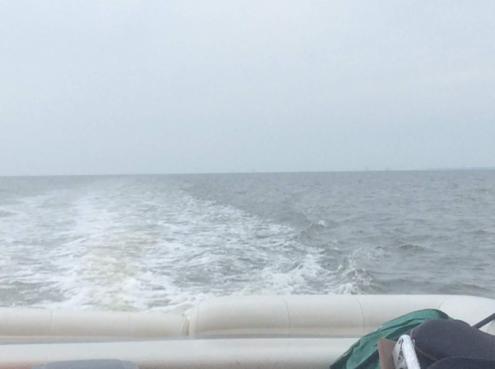 |
| Oooh, we are way on out there |
 |
| Dauphin Island Bridge |
 |
| Goodbye Dog River |
 |
| Hello Mobile. |
 |
| A ship in dry dock for maintenance/repair |
 |
| A "Deep Water Horizon" type rig being prepared for its next assignment |
 |
| Another ship in dry dock |
 |
| The cruise ship is idle |
 |
| More large ships being loaded/unloaded |
 |
| We met this lone barge in Mobile harbor |
 |
| Mobile River Bridge |
 |
| Use your imagination here. That dot on the top of that tree is an eagle. We saw a lot of eagles once we started up the Mobile River. |
 |
| The I-65 Bridge over the Mobile River. I am not sure why it is referred to as the Dolly Parton Bridge. Maybe she donated some money to help build it. |
 |
| Camp for the night in the shadow of the I-65 bridge |
 |
| Our trek for the day |
No comments:
Post a Comment