We stopped in Vicksburg, MS for our final fuel stop on the river. This fuel needs to get us through New Orleans and across to Bay St. Louis, MS. We were searching for a place to tie up so we could carry our fuel cans up to a gas station, there are no marinas that sell fuel in Vicksburg. We will empty the four 5-gallon gas cans we carry into the tank and walk to a gas station that we see on Google Maps at the top of the hill. We thought we could "park" under the I-20 bridge, but the current was to strong and swirling around. Near the base of the bridge, we found a Casino, that was closed due to COVID-19. Maybe we can walk through the parking lot to get to the gas station. We searched for a place that we could put the front of the boat on the bank and get off to walk to a gas station, but there really was not a good place to beach the boat. We decided to go ahead and empty the cans into the tank and figure something out from there. While we were floating near the Casino, an security guard came out to see what was going on. We told him we were trying to find a place we could stop and walk the cans up to the gas station on the top of the hill. We would really like to find someone with a truck that could help us out (one of us could ride in the back to the gas station). He didn't take the hint. But, he did tell us that the city dock is up the Yazoo River, about 3 miles back up river. We enjoyed the 6 or 7 MPH current when we were going down river. But now we have to slog back up river to the city dock. I am pretty sure we burned 5 gallons just getting back up to the city dock.
It turns out the City Dock is really just a boat ramp with a loading/unloading dock ,when it is not under water. As we were pulling into the area of the city dock, we noticed that the city employees were closing up the gap in the flood walls. The river was due to crest in about five days, so they were preparing for higher water. I thought we were out of luck. How are we going to get through the wall? Charlie noticed a couple of people coming in from fishing and beached their boat 50 yards down from the end of the wall. We went to the end of the wall and beached our boat.
We saw the fisherman carry some fish to a pickup truck. It looked like they were finished for the day. While I gathered the fuel cans, Charlie walked down to ask if they could help us out with a ride to the gas station. Charlie turned and gave me the thumbs up. I loaded the gas cans in the back of the truck and jumped in for a ride to the gas station. It was just six blocks away, but it was up hill. I was glad to have a ride.
We got the cans back to the boat, waved goodbye to our new friend (who had a $20 tip in his pocket for his trouble) and headed down the Yazoo River toward the Mississippi River.
We passed through Natchez, MS. The outstanding feature of Natchez from the river is the huge wall along the river.
Natchez is one of the oldest European settlements, established in 1716. Natchez, MS is the southern most point of the Natchez Trace, which runs 440 miles between Natchez and Nashville, Tennessee. Before steamships were able to navigate up the Mississippi, many pilots and crew of flatboats and keelboats would travel by the Natchez Trace to their homes in the Ohio River Valley. Today the modern Natchez Trace Parkway, which commemorates this route, still has its southern terminus in Natchez. It is a popular route for those who want a leisurely drive. It is very popular with RV and motorcycle travelers. I wish we could have stopped in Natchez, but with the combination of the high water and social distancing, it just wasn't to be.
Around 5:00 we started looking for a place to tie up for the night. We spotted a potential area around mile 318. There was a Corp of Engineers boat tied up so we asked them if this would be a good place for us to tie up (we were kind of hoping they would say sure, tie up to us for the night). They said; not really. The current is pretty strong here. You should head on down to mile 304, the Mud Hole. And stay on the opposite side of the river from those flood gates. If they are open, they might suck you over in that direction. Yikes!!
So off we go. Another 14 miles, should take us about 45 to 50 minutes. We passed by the three diversion channels without issue, the gates were not open. We made it to the old river lock channel and had to wait for barge to back out of the channel before we could go in. The Mud Hole is an area where the tow companies store barges. It is a large pool next to the old river lock. Plenty of room for us. We worked our way around to the far end of the pool and around to an area that was only available because of the high water. We pulled up to the bank and set our anchor out in the grass bank along highway 15. The bank was steep enough that the traffic on the highway could not see us. But we could hear the trucks as they passed by, all night long. Even with the traffic noise, it was a good anchorage. Tomorrow we head toward Baton Rouge.
 |
| Cottonwood Bar - Ready to depart |
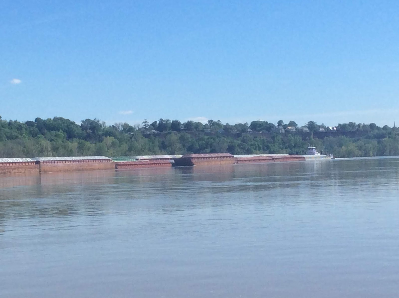 |
| More large tows |
 |
| Natchez, MS Notice the wall behind the Casino |
 |
| Even bigger tows |
 |
| This one had three tows managing the barges (near the Yazoo River) |
 |
| Bridges are few and far between on the Lower Mississippi |
 |
| Sunrise at Mud Hole |
No comments:
Post a Comment